Maps have always played a crucial role in human civilization, serving as tools for navigation, territorial claims, and cultural expression. When we think of ancient maps, our minds often drift to the medieval European charts or the intricate navigational aids of the Chinese and Arab explorers. However, one of the most fascinating yet lesser-known cartographic traditions belongs to Ancient Egypt Map. This guest post will delve into the enigmatic world of Ancient Egyptian maps, exploring their unique features, purposes, and the insights they offer into one of history’s most intriguing civilizations.
Ancient Egyptian Cartography: An Overview
Unlike the detailed geographic maps we use today, Ancient Egyptian maps were often symbolic and religious in nature. These maps were not just tools for finding one’s way; they were a means of representing the cosmos, the afterlife, and the divine order.
The Turin Papyrus: A Map of Gold Mines
One of the most famous examples of Ancient Egyptian cartography is the Turin Papyrus Map, dating back to the reign of Ramesses IV (circa 1150 BCE). This map, created on a papyrus scroll, is considered the oldest known topographical and geological map. It depicts a region in the Eastern Desert of Egypt, detailing the locations of gold mines and the routes leading to them. This map not only highlights the Egyptians’ mining activities but also their sophisticated understanding of geography and resource management.
The Book of the Dead: A Spiritual Map
The Ancient Egyptians were deeply spiritual, and this is reflected in their maps of the afterlife. The Book of the Dead, a collection of funerary texts, contains illustrations that can be interpreted as spiritual maps guiding the deceased through the Duat, the Egyptian underworld. These maps include the twelve divisions of the night, guarded by deities, and the various dangers and trials the soul must navigate to reach the afterlife. Such maps underscore the Egyptians’ belief in an ordered universe and the journey each soul must undertake.
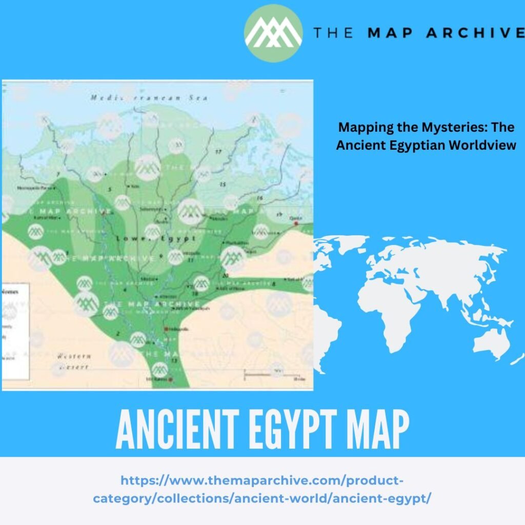
Mapping the Nile: The Lifeblood of Egypt
The Nile River was the heart of Ancient Egypt, and it featured prominently in their cartographic representations. Egyptian maps often emphasized the Nile’s centrality, depicting it as the axis around which their world revolved. These maps not only showed the physical landscape but also conveyed the river’s critical role in agriculture, trade, and daily life.
The Edfu Temple Inscriptions
The inscriptions at the Temple of Edfu provide another glimpse into ancient Egyptian mapping. These carvings include detailed descriptions of the nomes (administrative regions) of Egypt, their boundaries, and significant landmarks. Although not maps in the modern sense, these inscriptions functioned as geographical records, aiding in the administration and organization of the kingdom.
The Legacy of Ancient Egyptian Maps
The maps of Ancient Egypt offer more than just geographical information; they provide a window into the civilization’s values, beliefs, and daily life. By studying these maps, we gain insights into how the Egyptians viewed their world and their place in the cosmos. These ancient cartographic practices also highlight the Egyptians’ advanced knowledge in various fields, from mining to administration.
Conclusion
The maps of Ancient Egypt are remarkable for their blend of practicality and spirituality. They remind us that mapping is not just about physical spaces but also about the human experience and our attempts to understand and navigate our world. As we explore these ancient maps, we are not only uncovering the geographical knowledge of the past but also connecting with the timeless human endeavor to chart the unknown.
Whether you are a history enthusiast, a cartography buff, or simply curious about the ancient world, delving into the maps of Ancient Egypt promises a fascinating journey through time and space. So next time you look at a map, remember that each line and symbol is part of a rich tradition that stretches back thousands of years to the banks of the Nile.