In the year 1800, the world was on the cusp of transformation. It was an era marked by exploration, enlightenment, and a growing sense of global interconnectedness. The maps from this period offer us a glimpse into the known world at the time, showcasing both the achievements and limitations of geographical knowledge. This guest post delves into the diverse maps of the year world map 1800, exploring their significance, accuracy, and the stories they tell about the world of two centuries ago.
The Global Context in 1800
At the dawn of the 19th century, Europe was at the center of global power and exploration. Colonial empires extended across continents, and trade routes spanned the oceans. The Americas were still largely under European control, with the United States emerging as a new nation. In Asia, the British Empire and the Qing Dynasty dominated, while Africa remained a continent deeply affected by the transatlantic slave trade and European imperialism.
Mapping the World: Techniques and Technologies
The maps of 1800 were products of their time, reflecting the best available knowledge and technology. Cartographers relied on a variety of methods, from meticulous surveys to travelers’ accounts and astronomical observations. Accuracy varied widely, with European regions often mapped in detail, while remote areas like the interior of Africa or the Pacific islands remained largely uncharted.
European Dominance in Cartography
European nations, particularly Britain, France, and Spain, led the way in mapmaking due to their extensive exploration and colonization efforts. These maps not only served as navigational tools but also reinforced colonial claims and economic interests. The Mercator projection, though criticized for its distortion, remained popular for its navigational utility.
Regional Insights: Europe
Europe in 1800 was a continent in flux. The Napoleonic Wars were reshaping political boundaries, and the Industrial Revolution was transforming society and economy. Maps of the time depict Europe’s shifting alliances and territories, illustrating the dynamic geopolitical landscape of the era.
The Americas: Colonies and Independence
Maps of the Americas in 1800 highlight the consolidation of European colonies and the early stirrings of independence movements. Spanish and Portuguese territories dominated South America, while the United States was expanding westward. Indigenous lands and cultures were often misrepresented or omitted, reflecting colonial biases.
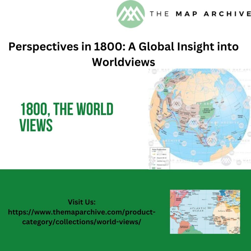
Asia: Empires and Trade Routes
In Asia, the Qing Dynasty ruled China, while the British East India Company held sway over large parts of the Indian subcontinent. Trade routes connected Asia with Europe and the Middle East, fostering cultural exchange but also imperial competition. Maps of Asia from this period document these power dynamics and the regions still considered terra incognita.
Africa: Exploration and Exploitation
Africa in 1800 was a continent undergoing profound change. European powers mapped coastal regions for trade purposes and missionary activities, but the interior remained largely unknown. The transatlantic slave trade had devastated communities across West Africa, leaving lasting scars on the continent’s history and demographics.
Oceania and the Pacific: Islands of Mystery
The Pacific islands were among the last places on Earth to be mapped due to their remoteness and the challenges of navigation. European explorers like James Cook contributed significantly to our understanding of these islands, although indigenous knowledge often surpassed that of European maps in accuracy and detail.
Scientific Advances in Cartography
The 19th century witnessed significant advancements in mapmaking techniques. The use of longitude and latitude, trigonometric surveys, and improvements in printing technology all contributed to more accurate and detailed maps. These innovations laid the foundation for modern cartography and geographical exploration.
Legacy and Impact
The maps of 1800 not only shaped perceptions of the world but also influenced political decisions, economic policies, and cultural exchange. They reflect the biases and limitations of their time while also revealing the aspirations and achievements of explorers and cartographers. Today, these historical maps are valuable artifacts, providing insights into the interconnectedness of global societies and the evolution of geographical knowledge.
Conclusion
Exploring the maps of the year 1800 offers a fascinating journey through time and space. These maps are not just geographical representations but windows into the minds of explorers, the ambitions of empires, and the interconnectedness of the world in an era of rapid change. They remind us of the complexities of history and the ongoing quest for understanding our place in the world. As we study these maps, we gain a deeper appreciation for the journeys and discoveries that have shaped our modern world.
In conclusion, the maps of 1800 stand as testaments to human curiosity and endeavor, capturing a moment in history when the world was vast, mysterious, and ripe for exploration.